Legend & Layer

Every place has a story.

Legend & Layer builds interactive visitor walks, event maps, and digital stories about places and change. The work is custom, and it is made to be opened, passed on, and looked at together.

Selected work

Stories built around place.

Examples from recent work. Each one answers a different kind of place question.

Cartographic homage

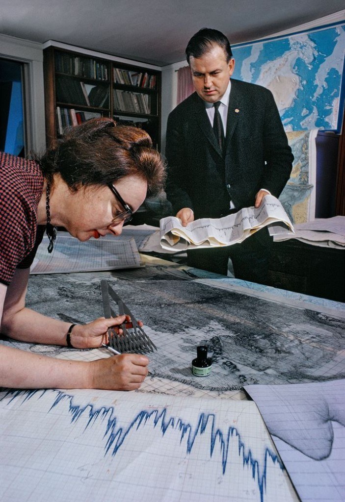
Marie Tharp: Mapping the Unseen Earth

What the map helps explainHow thin sounding tracks became a continuous picture of the Mid-Atlantic Ridge.

How do you help someone feel the work of drawing a seafloor no one could see?

This full-browser MapLibre story follows Marie Tharp’s method: sparse ship tracks, echo profiles, and the Mid-Atlantic Ridge she traced from those slices. The drawing language is modern bathymetry; the 1957 North Atlantic diagram remains hers. The piece is homage, not a replica.

This story was designed for a larger, full-screen view. It will open on a phone, but is easier on a laptop.

Marie Tharp · MapLibre · Bathymetry · Historical narrative

Historical place narrative

Farina: Being Made Again

What the map helps explainHow a town grew, disappeared, and is being brought back to life.

What if you could stand in a faded outback town and see what was planned, what remains, and what might have been?

This interactive map of Farina, South Australia, shows the documented rise and decline, today’s restoration sites, and a careful what-if in which the town thrived. Actual history, present trails and ruins, and an alternate story are layered so readers can explore at their own pace.

This story was designed for a larger, full-screen view. It will open on a phone, but is easier on a laptop.

Historical narrative · MapLibre · Then / Now / What if · Open sources
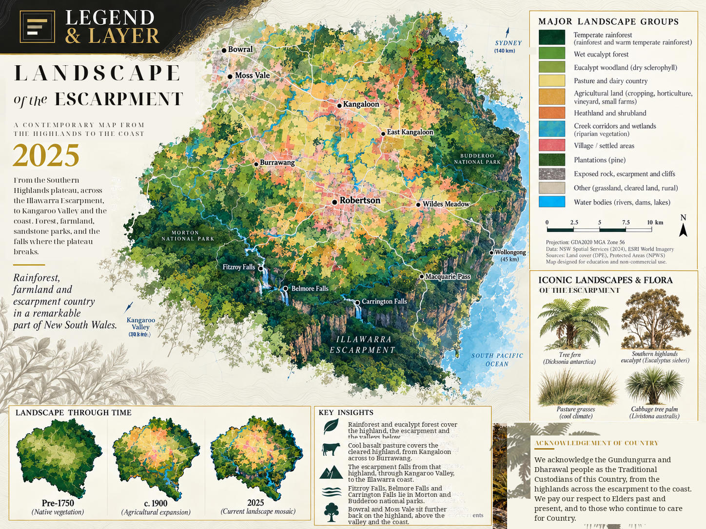
Highlands to the coast

Landscape of the Escarpment designed mapOpen app

Landscape of the Escarpment

What the map helps explainHow highland pasture, escarpment forest, sandstone parks, and the coast sit in one continuous country.

How do you help someone feel the drop from Southern Highlands pasture to escarpment forest, valley, and sea?

A contemporary editorial map sheet of Robertson and the Illawarra Escarpment — not a GIS dashboard. Extant native vegetation from the NSW State Vegetation Type Map sits with NPWS reserves, creeks, roads, and places, so the highland, the break of the plateau, Kangaroo Valley, and the coast read as one landscape.

This map sheet is wider than it is tall. It asks for a larger screen, or a phone turned sideways.

Editorial map · Vegetation · Illawarra Escarpment · NSW landscape
Why organisations commission Legend & Layer

A map people can use is worth more than a report people can file.

Most organisations already have the evidence. The hard part is getting people to sit with it.

A live map story is built to be opened, passed on, and looked at together. That is what you are paying for: not another file, but a public object people will actually use.

  • A live map story earns the first look

    Place is concrete. A coastline, a town, or a corridor is easier to attend to than a finding. Attention is the first problem; the map solves it before the argument starts.

    Homepages · Visitor pages · Campaign launches

  • The map makes the stake visible

    Who is affected, what changed, and what is at risk. Geography turns an abstraction into somewhere people can point at, which is what they remember.

    Boards · Consultation · Classrooms

  • The story travels

    A URL moves through inboxes, newsrooms, classrooms, and board packs. A long PDF usually does not. You pay once; the story keeps circulating.

    Press · Partners · Internal briefings

  • The map changes the meeting

    Instead of explaining the spreadsheet, you look at the same place together. Alignment is easier when the evidence is shared, not summarised.

    Council · Partners · Working groups

The finished piece is an asset you keep using, not an illustration for one announcement.

Tell me about the project

What Legend & Layer does

A report can explain an issue. A map lets someone experience it.

Three common kinds of work, among others. These are examples of what a project can become, not fixed packages.

  • Visitor walks and event maps

    Help people explore a town, trail, festival ground, or destination. Stops, routes, and context sit on the map so visitors know where they are and what they are looking at.

    Town walks · Festivals · Trails · Visitor centres

  • Heritage and cultural stories

    Connect archives, photographs, and local history to the places they belong. A reader can move between then and now without losing the thread.

    Museums · Historical societies · Heritage places

  • Environmental and community stories

    Make change visible: a coastline, a habitat, a corridor, or a decision that lands differently depending on where you stand. The map holds the evidence so a group can look at it together.

    Conservation · Councils · Community groups

Other briefs are welcome when place is central to the story.

Who Legend & Layer works with

The studio works with organisations that have something important to explain.

A good fit when geography is central to the story, and a report or static map is not enough. Museums, towns, festivals, conservation groups, and councils are common starting points.

Environment and Conservation
Landcare, restoration, biodiversity, waterways, habitat and environmental change.
Culture and Heritage
Museums, historical societies, archives, heritage places and local history.
Tourism, Events and Destinations
Trails, festivals, visitor walks, regional tourism and place interpretation.
Councils and Community Development
Community plans, public engagement, local initiatives and place-based briefing.
Arts, Research and Public Engagement
Galleries, cultural organisations, and research that needs to be explored rather than filed away.
Agencies and Consultancies
A specialist mapping and storytelling partner when geography is part of a larger brief.

Formats

From a focused story to a flagship interactive.

  • Focused Map Story

    One question, one place, one narrative. Often a pilot walk, a festival map, or a short heritage piece.

    Best for Visitor walks, event maps, focused heritage or community stories.

  • Signature Interactive

    Several sources, a designed sequence, custom interaction.

    Best for Longer trails, multi-stop walks, conservation and cultural stories with more depth.

  • Flagship Digital Story

    Complex evidence, several audiences, a public launch.

    Best for Regional destinations, institutional programmes, multi-year place stories.

If you are not sure which format fits, that is part of the first conversation.

What does a project cost?

Each project is scoped around the place, the material available, and what people need to do with it. Some begin as focused pilots; others cover a full trail, event, or public story. Tell me what you have in mind and I will suggest a sensible scope and a clear quote.

Tell me about your project

Approach

From a complicated idea to a clear interactive story.

The work starts with the audience and the question, not with software.

  1. 01

    Find the real question

    What should someone understand, see, or care about? The work starts there.

  2. 02

    Build the evidence

    Data, archives, imagery, and interviews — only what actually supports the story.

  3. 03

    Shape the narrative

    Then and now, cause and effect, loss and recovery — a sequence people can follow.

  4. 04

    Build the experience

    A web map, an exhibit, or a custom application, designed around that audience.

The technology is chosen after the story is understood.

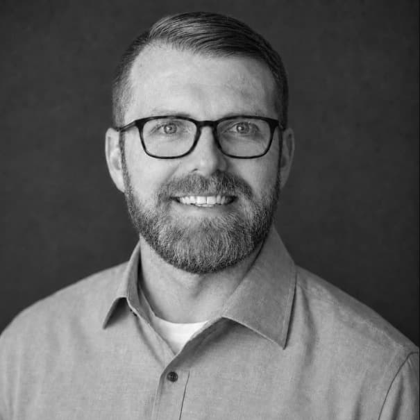
Eric Raszewski, founder of Legend & Layer

About

Hi, I’m Eric

I run Legend & Layer

I started Legend & Layer because some of the most interesting stories I encounter are difficult to explain without geography — a coastline moving, a town disappearing, a policy that lands differently depending on where you live.

The studio is small on purpose. You work with the person researching, designing, and mapping the story.

If your organisation has something complicated to communicate, and place is part of the story, I would like to hear about it.

In the press

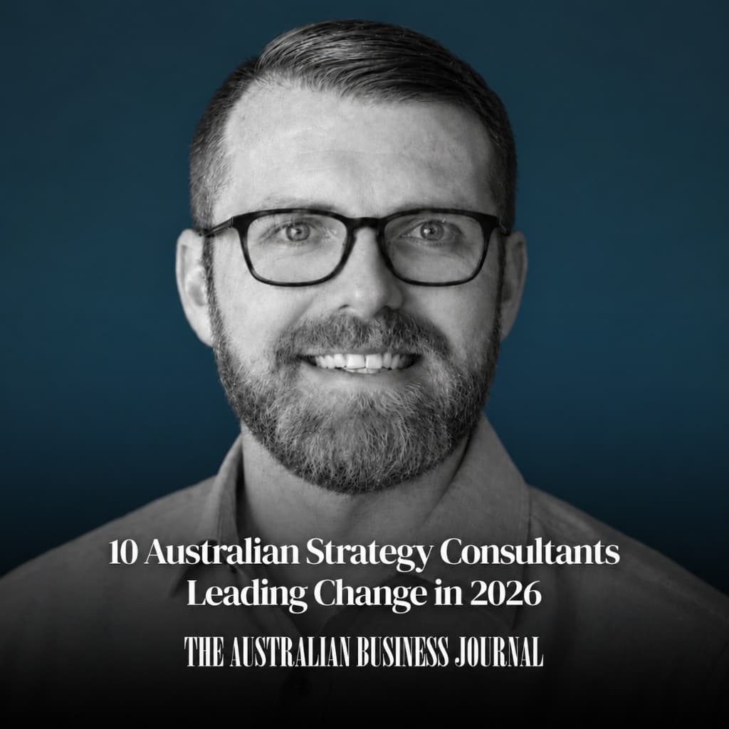
10 Australian Strategy Consultants Leading Change in 2026

The Australian Business JournalSeptember 2026

Read the article →

Contact

Tell me about your project

Tell me about the place, who it is for, and what material you already have. Photographs, archives, routes, reports, or a rough list of stops are all useful. You do not need to know what kind of map to ask for. The form below is the usual first step.

Ready to talk?

If you would rather start with a conversation, book a 30-minute project call with Legend & Layer.

Book a 30-minute project call

Community

Part of the mapping community

Legend & Layer learns from and contributes to open mapping and geospatial communities around the world.